 |
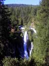
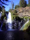
McArthur-Burney Falls
Memorial State Park
|
 |
|
|
||||
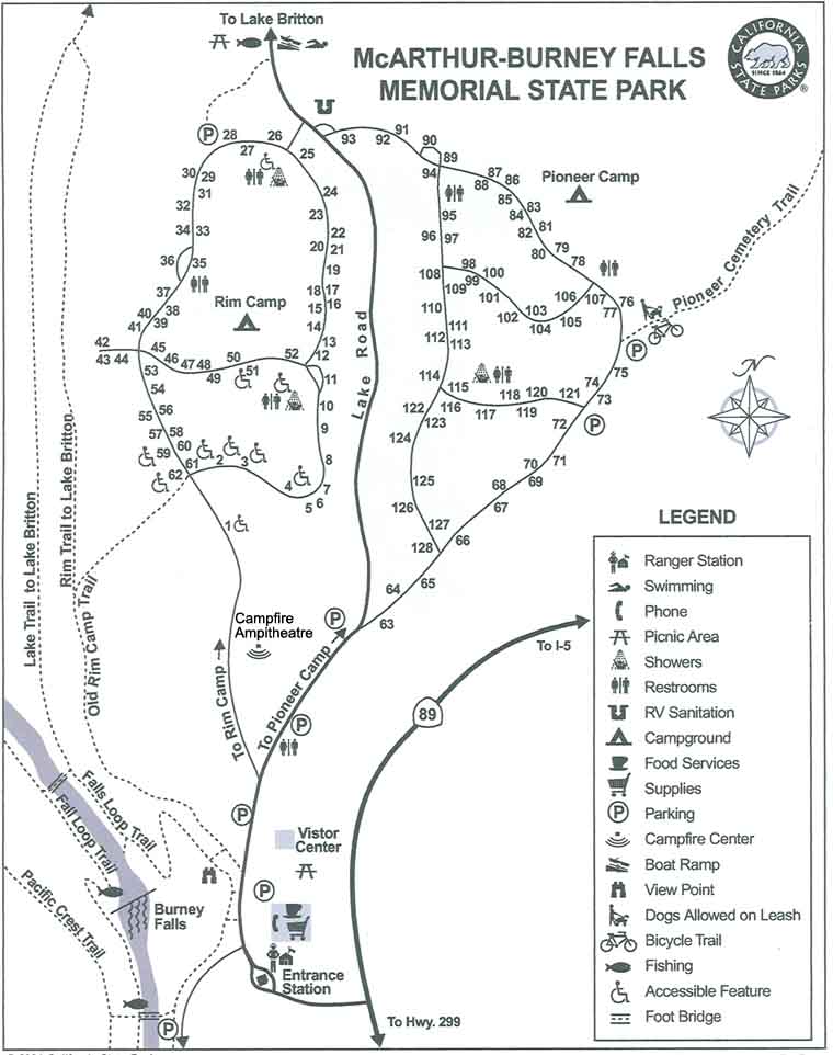
Getting HereMcArthur Burney Falls is located in Shasta county of Northern California. The park's entrance is on Highway 89 about 6 miles north of the junction with Highway 299. below are some links to maps for directions or for while you're there. Topographic Map of Lake Britton
and Mcarthur-Burney Falls Memorial Park |
||||